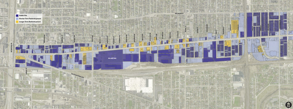
The first step in translating the principles into a plan is defining the geography–what the plan will and will not cover. A development suitability analysis helps us determine what properties the plan will address.
A systematic windshield survey was conducted to inventory the character and use of all parcels along the corridor. Based on criteria informed by the principles and by best-practices in urban transit corridor revitalization and informed by the stakeholder steering committee, each parcel was determined to be either stable or redevelopable (either in the short or long term). The following criteria were used.
 |
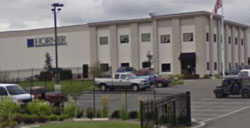
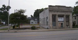
Stable sites will probably still be around in twenty years. These include viable residential homes that are not isolated; viable businesses that are operating and in a building that appears to be structurally sound; and historic structures that should remain and find new life. These sites are incorporated “as-is” into the long-term vision plan. |
 |
Shorter-term redevelopable sites could be redeveloped in the next twenty years. These include vacant buildings and lots; parking lots; known or suspected contaminated brownfields; and deteriorating non-historic structures. These sites represent the places redevelopment could occur relatively quickly with minimal hurdles. |
 |
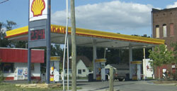
Longer-term redevelopable sites may take some time to redevelop. These include operating and viable businesses that are automobile-oriented and not transit-supportive; operating businesses in a deteriorating structure, and residential homes that are isolated from neighborhoods. These sites represent the places that would require more work to redevelop, including changing economic conditions and relocation opportunities. |


